As I am counting down to my 1000th visited WHS, the goal is so near now that I cannot afford to lose a ‘tick’ in these last steps before the perfect plan falls apart. So you can imagine my worry when I heard about the devastating wildfire that started at Tongariro National Park less than a week before I wanted to visit it as my #997. Fortunately, the official park website helped point out the things you could and could not do, so I still had a worthwhile visit, although it lasted only one day, where two days would be advisable under normal circumstances.
What we know about the Fire so far:
- The fire started on November 8, 2025.
- It quickly spread across 3,000 of the park’s 79,596 hectares.
- 52 hikers and locals had to be evacuated from huts along the Tongariro Northern Circuit and Whakapapa village (source).
- The fire died out after heavy rains on November 12 and 13.
- The north-central part of the park remained closed until November 17 and two rāhui were put in place.
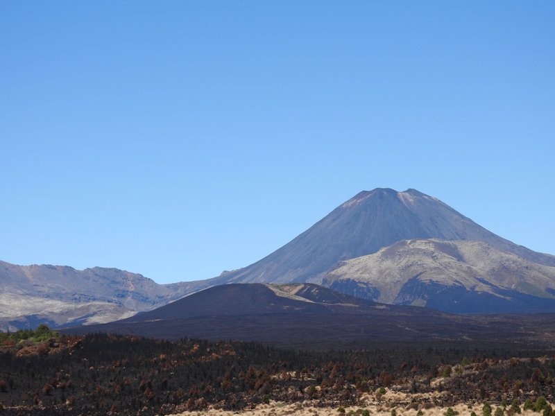
On November 16, I drove past the affected area, which is visible around the turnoff to the start of the Tongariro Alpine Crossing. It is remarkable how close it is to the main road and to the tourist facilities, so it would not surprise me if a human act eventually turns out to be the cause.
The Southern Route
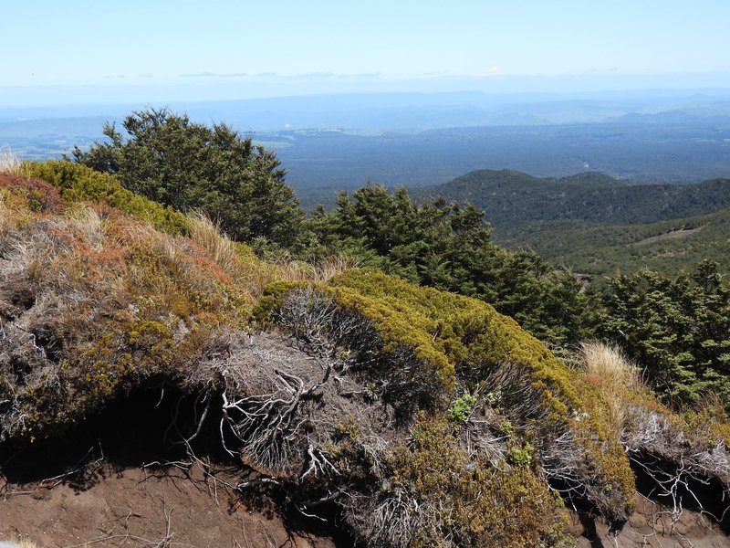
One of the things that I could do is drive the Ohakune Mountain Road. It goes up steeply for 17km from the town of Ohakune til the ski resort of Turoa. I had expected it to be busy since the rest of the park was mostly closed (and it was a very sunny Sunday), but it wasn’t. I started at the foot (and just beyond the Welcome to the Tongariro WHS sign!) with the Mangawhero Forest Walk (easy, 1h). I then drove up all the way to the top, seeing the landscape change from forest to shrubs to barren lava rocks.
On the way down, I had a look at the pretty Mangawhero Falls and decided to skip the Waitonga Falls Track as it started as just another forest walk. Since Australia, I am kind of done with the tall trees and the ferns...
The Second Component
In addition to the main area, the core zone comprises a second component, unimaginatively called “Second Component”. It lies about 5 km to the northeast of the main area. Given the limited official information available for this WHS in general, we can only guess why this component was added. As it holds three volcanoes that have not been active for thousands of years, I believe they just wanted to be complete with their “Tongariro is the south west terminus of the Pacific Ring of Fire” theme. The split also avoids Lake Rotoaira, a privately owned lake between the two components, which is used as a storage lake for the Hydro Power Station.
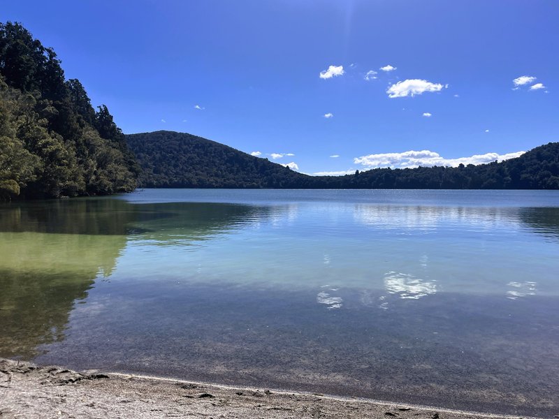
A good walk to do in this area is the Lake Rotopounamu Track. This is an easy-to-moderate loop around the eponymous lake; it took me 1h45 minutes. The lake is nestled in a crater and has a greenish colour. It’s mostly a forest walk, as you can only see the lake from three beaches. The walk is also popular with birdwatchers, as you can hear and view a variety of native birds along the trail.
Comments
1 comment