
The best way to see the Baltic Klint according to my research would be to follow the Saka-Ontika-Toila road to see the Ontika Landscape Reserve. The Klint goes along the sea there and is clearly visible.
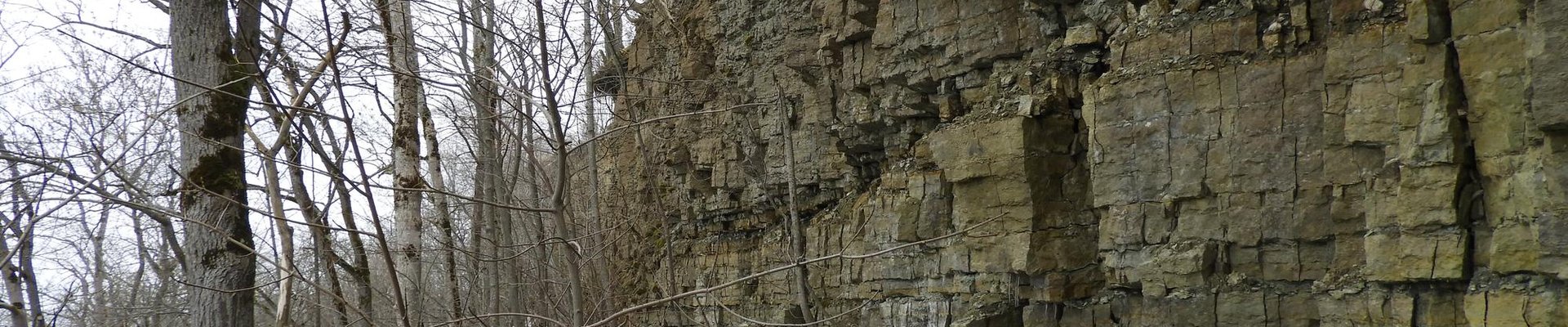
As I was restricted in time and had a car with limited miles, I settled for a closer proposed component: the Tsitre Muuksi. And boy, this was not easy to find. First I drove to the Tsitre vaatetorn, a watch tower close to the beach. The beach is nice, with forest right behind it, but no klint visible. I did some internet research on spot (coverage is really good in Estonia) and found a map on a local website, that marked the beach as "Cambrian Blue Clay Terrace" with the Cambrian Terrace a bit further inland. On Google Maps I found the Muuksi linnamägi (hill fort). I figured hill equals klint and went there. Sure enough I found the klint. After the monument for the hill fort (image 3 on maps) there is a small path leading you into the forest. YOu actually walk along the top part of the Klint. With some climbing and getting stung by a million moscitoes I managed to snap some pictures of the Klint.
Was it worth the effort? Probably not. If this ever gets inscribed, I would likely go back and visit the Ontika landscape. At least I got in some beach and some hiking in the forest, which is never a bad thing to do.
Comments
No comments yet.