Connected Sites
-
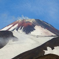
In 1945, a good many of the monuments were covered up by a disastrous landslide
-
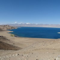
The lake formed in 1911, after a great earthquake, when the Murghab River was blocked by a big landslide. Scientists believe that the landslide dam formed by the earthquake, known as the Usoi Dam, is unstable given local seismicity, and that the terrain below the lake is in danger of catastrophic flood if the dam were to fail during a future earthquake (wiki)
-
The Solar Baeta Neves, a historic 19th century mansion, was destroyed by a landslide in January 2022.
-
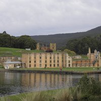
"The partial collapse of the cliff and landslides have altered the shape of the historic landscape and buried some sites on the escarpment." (AB Ev)
-
Valley of Geysers: On June 3, 2007, a massive mudflow inundated two thirds of the valley (wiki)
-
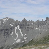
The Glarus Alps are ... the site of the largest post-glacial landslide in the Central Alpine region (AB ev)
-
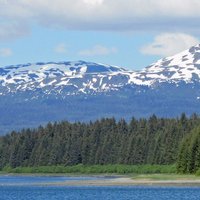
Lituya Bay: On July 9, 1958, an earthquake caused a landslide in the Crillon Inlet at the head of the bay, generating a massive megatsunami (wiki)
-
Great North Road Slope failure resulted in collapse of the retaining wall and road structure of a major section of Devines Hill in 1857. The road was realigned with evidence of buttresses on the original alignment still clearly visible.
See www.environment.nsw.gov.au