Río de la Plata Basin

Connected Sites: 7

“the 3,170,000-square-kilometre hydrographical area in South America that drains to the Río de la Plata. It includes areas of southeastern Bolivia, southern and central Brazil, the entire country of Paraguay, most of Uruguay, and northern Argentina. Making up about one fourth of the continent's surface, it is the second largest drainage basin in South America (after the Amazon basin) and one of the largest in the world. The main rivers of the La Plata basin are the Paraná River, the Paraguay River (the Paraná's main tributary), and the Uruguay River.“ (Wiki) See map

Connected Sites

  • Pantanal
    Pantanal
    Brazil
    Inscribed: 2000
    3.72
    41
    2
    On the Paraguay River
  • Iguazu National Park
    Inscribed: 1984
    4.36
    203
    9
    On the Iguazu which flows directly into the Parana river
  • Sucre
    Sucre
    Bolivia
    Inscribed: 1991
    2.86
    92
    7
    On the Cachimayu which flows into the Pilcomayu and thence to the Paraguay/Parana
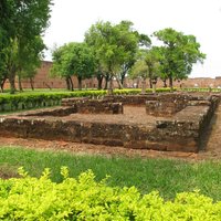
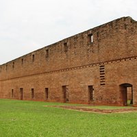
  • Jesuit Missions of Trinidad and Jesus
    Inscribed: 1993
    3.04
    69
    8
    On the Parana
  • Jesuit Missions of the Guaranis
    Inscribed: 1983
    2.88
    72
    9
    Mainly on the Parana but Sta Maria (Arg) and Sao Miguel (Braz) are on the Uruguay
  • Iguacu
    Iguacu
    Brazil
    Inscribed: 1986
    4.27
    202
    10
    On the Iguassu which flows directly into the Parana River
  • Fray Bentos
    Inscribed: 2015
    2.79
    36
    5
    On the Uruguay River