Connected Sites
-
-
-
"The use of airborne LIDAR surveys to develop the relief maps of the kofun demonstrates a good application of this technology to the needs of heritage documentation and conservation management." (AB ev)
-
-
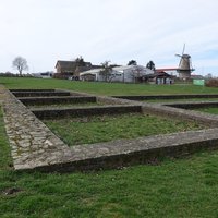
"The landscape context has been documented using topographical and historical maps, LiDAR images and computer-based models." (AB Ev) – "Modern non-intrusive survey adds to our understanding at various scales, from high-definition LiDAR to constantly improving ground-based geophysical techniques." (Nomination file, p. 56) – "In 2014, as a result of landscape-scale LiDAR survey specifically targeted at Viking-Age Ring Fortresses, Borgring was identified as probably being a Viking-Age ring fortress." (Nomination file, p. 132)
-
-
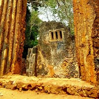
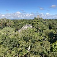
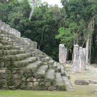
"Although work is ongoing at Sambor Prei Kuk, and recent LIDAR surveys have identified the key elements of the city" (AB ev)
-
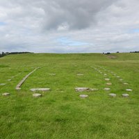
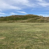
"the site has been inventoried, described and documented. LIDAR images of the property (2009) provide a precise model of the earthworks and an excellent set of high-precision geospatial data for future management of the property" (AB ev)
-
Kleve-Reichswald (21): "Traces of a 7 m-wide road embankment have been recorded by LiDAR." (Nomination file, p. 68) – "Through the systematic analysis of LiDAR data, many new temporary camps have been discovered in forest areas near Xanten and Bonn". (Nomination file, p. 91)
-
"Pit-mined waste of clay and other soft material, even if tipped, would be prone to rapid denudation and leave little trace in the topography today. They are, however, impressive when surveyed by LiDAR, especially when visually and technically stripped of forest cover and viewed in a large group." – "The form and scale of the mining fields is highly authentic, being proven by a variety of archaeological investigations, including advanced geophysics and Lidar." (Nomination file, p. 71, 180)
-
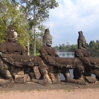
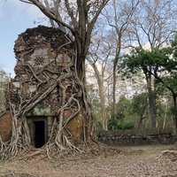
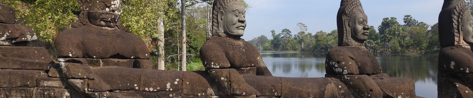
"The LiDAR survey revealed a complete spatial layout of the site, forming a rectangular formation linking the main features within the complex, including the Rahal, embankments and temples, and with Prasat Thom located at its precise centre." – "The above ground remains have been listed and identified in the site surveys, while buried remains have been identified through surveys, excavations, Ground Penetrating Radar (GPR) and LiDAR." – "Some underground elements have been discovered through LiDAR survey, contributing towards a better understanding of the site's overall water system." (Nomination file, p. 32, 69, 164)
-