Connected Sites
-
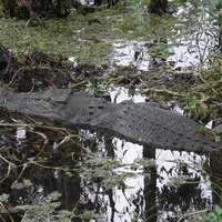
Jabiluka Uranium Mine. (In 2011 another enclave known as the Koongarra Project Area" was incorporated into the site in a boundary modification.)
See en.wikipedia.org
-
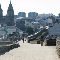
Only the complete circle of walls is inscribed - not the city within them
-
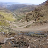
At the northern tip of the large southern component. It seems to be the area belonging to the Cathedral Peak Hotel (privately owned land). Another one around Mkomazana Mountain Cottages.
-
The inscribed boundary extends into the sea beyond the East and North Friesian Islands. In the East most of the islands are partially, and in the North others such as Sylt, Amrum and Fohr are totally excluded
See whc.unesco.org
-
A significant square has been cut out in the East of the park. This may refer to an area of privately owned land (2,959 ha in 1974) or 423ha cut out in 1993 for gas exploration (UNEP-WCMC)
-
The map shows a small enclave. (Nomination file, p. 8)
-
Small enclave in the northern part of the large, southern component. Unclear what it is.
-
-
East Halladale + West Halladale
-
Nosratabad village
-
-
-
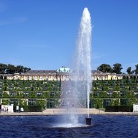
Nauener Vorstadt is excluded
-
See map. Three enclaves.
-
-
A small group of houses in the west (along Weinberg road) is excluded
-
At least 5 enclaves can be seen on the official map.
-
Component Grand Lagoon Sud comprises the Isle of Pines, but its land area is excluded as a "terrestrial border zone". Same for several small islands in the Grand Lagoon Nord.
-
The village of Motosu next to Lake Motosu is excluded and fully surrounded by the inscribed area. No explanation is given in the Nomination documentation, nor is any comment made by the AB
See whc.unesco.org
-
The City Walls are in the core zone in their entirety, but the Old City within the walls is a Buffer Zone
-
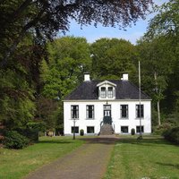
The Frederiksoord component excludes an area with small and medium sized buildings in the core. The Veenhuizen component excludes a modern village in the south-central part of the colony. (AB Ev + Map)
-
2 enclaves for 2 still active quarries
-
Components 1 and 2 have 2 modern villages excluded