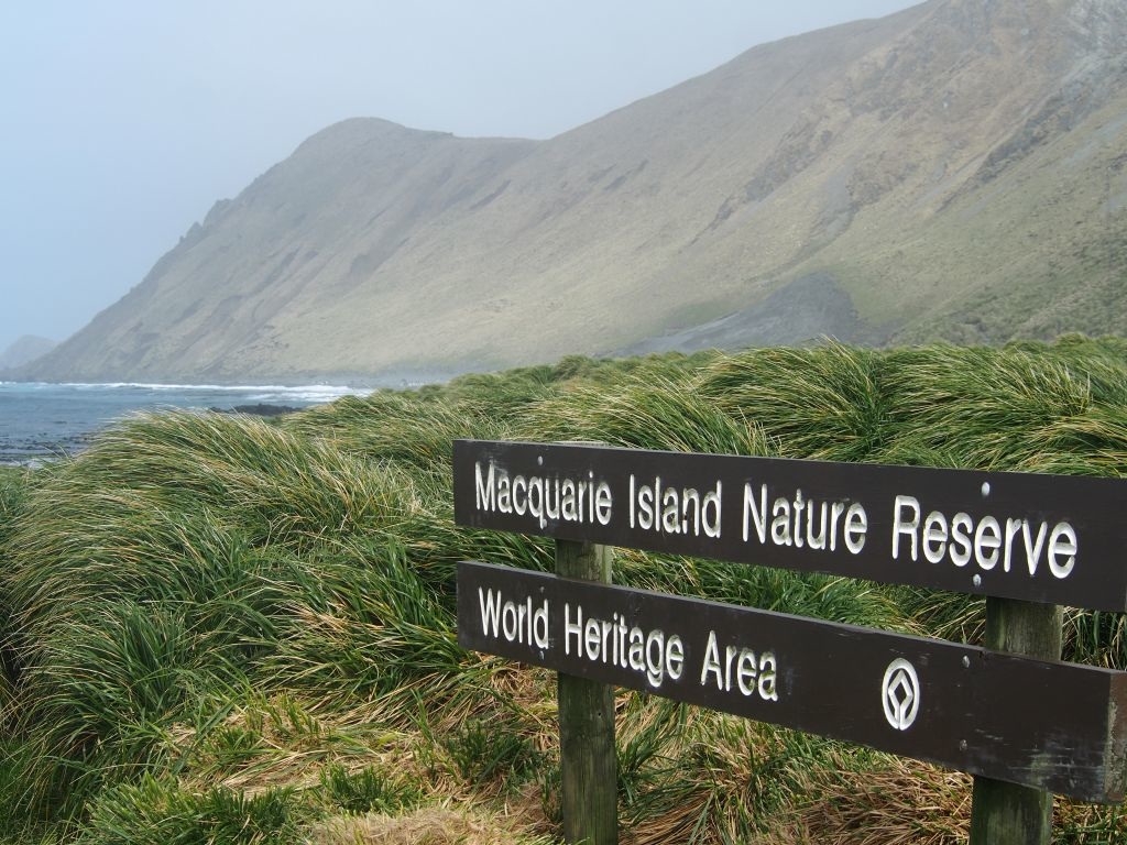
Macquarie Island

Macquarie Island holds a remote, windswept landscape that is the only place on Earth where rocks from the Earth's mantle are actively exposed above sea level.
The active tectonic processes make it an important focus of geological study. The island and associated islets lie about halfway between Australia and Antarctica and are populated by huge congregations of penguins and seals. Over 850,000 Royal Penguins breed here yearly.
Community Perspective: this site has been unreviewed so far.


Map of Macquarie Island
Community Rating
Site Info
Site History
1997 Inscribed
1992 Rejected
Interesting geologically but not of Universal Significance. Possibility of a wider nomination possibly with NZ islands?
Site Links
Unesco Website
Official Website
Related
In the News
An ambitious plan to eradicate rabbits, mice and rats from Macquarie Island has been put on hold because of bad weather.A team of 20 experts left for the island in May, with the aim of exterminating the pests during winter by dropping baits strategically across the island from a helicopter. (2010.07.22)
Connections
The site has 26 connections
Damaged
Ecology
Geography
Human Activity
Timeline
Visiting conditions
WHS Names
WHS on Other Lists
World Heritage Process
Visitors
11 Community Members have visited.
The Plaque
 (external source)